Destination briefing
Why travelers stop here
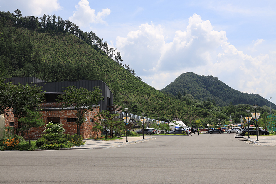
Garis Mountain has an elevation of 1,051m, and the summit area consists of three rocky peaks with a narrow valley between them. Although there are rugged rock peaks at the summit, the ridge is long and gentle, and the mountain is covered with deep, dense forests, including conifers such as Japanese larch and pine, and broadleaf trees such as oaks, making it a popular destination for hikers.
The Garis Mountain hiking trail is largely divided into two courses. The first course, Course A, starts from the parking lot, follows the northern ridge to Gasap Pass and the summit, and then returns to the starting point in a clockwise direction. This course covers approximately 10km and takes about 5 hours, but more time may be needed depending on weather or individual physical condition. Course B starts from the Garis Mountain Natural Recreation Forest parking lot, heads toward Hapsugok, passes the summit, and returns counterclockwise, taking about 3 hours and 30 minutes. This is the shortest course on Garis Mountain. Garis Mountain is well known as a beautiful mountain in all four seasons. Although the difficulty near the summit is high, you can taste the year-round flowing spring water, and wooden stairs have been installed on steep slopes for convenient hiking, allowing families with children and the elderly to hike comfortably.
OTA-ready stop
Built into inbound routes and day-tour planning.
Local context
강원특별자치도 홍천군 두촌면 가리산길 260-9
Travel fit
Leisure · Gangwon-do
![[Early bird] Elysian Gangchon Ski Tour from Seoul (5 pick-up points)](/_next/image?url=https%3A%2F%2Fadmin.holidaykr.com%2Fapi%2Fadmin%2Fsystem%2Fbasic-settings%2Ffavicon%3Fpath%3D%252Fuploads%252Fproducts%252Fthumbs%252F750_1785201339504_file1.jpg&w=3840&q=75)