Destination briefing
Why travelers stop here
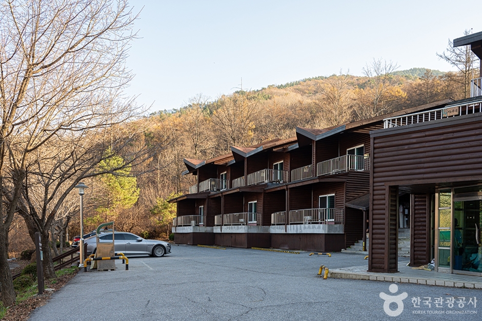
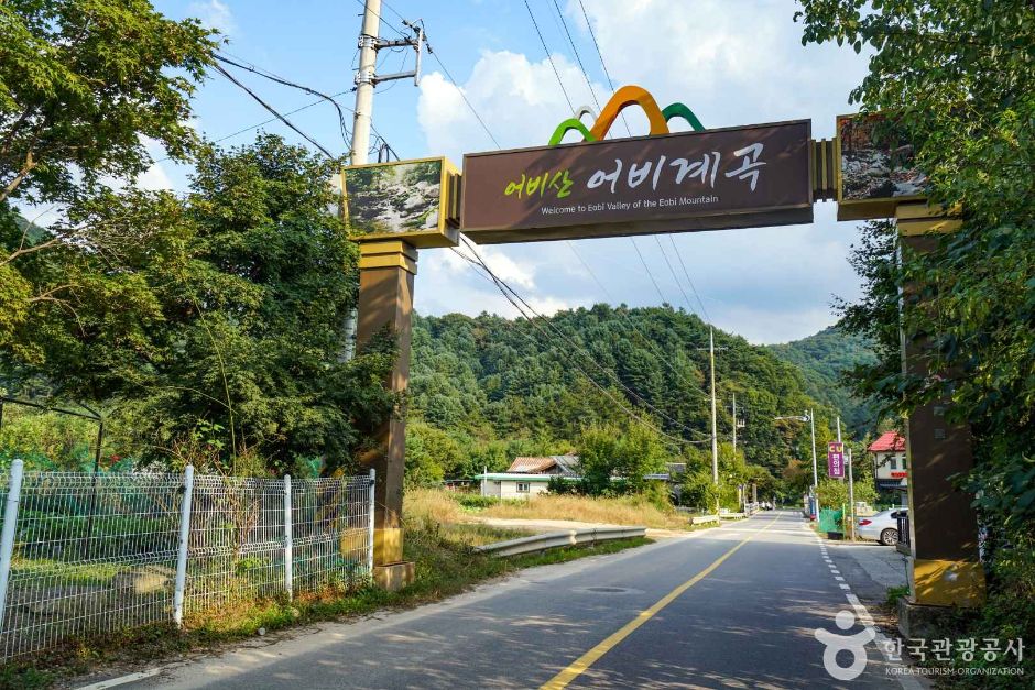
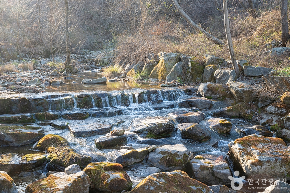
Located in Gail-ri, Seorak-myeon, this 864m-high mountain is beloved by hikers for its clear, ceaselessly flowing water through a valley of oddly shaped rocks and cliffs. With gentle and soft ridges, it is a good place for family hikes, featuring dense forests. The valley here connects with crystal-clear pools such as Bakjwisoe, Yongsae, and Madangsoe, creating a spectacular view. From the summit, you can see the Bukhangang River to the north, Cheongpyeongho Lake, and the Namhangang River to the south, as well as surrounding mountains like Yongmunsan, Hwaaksan, and Myeongjisan. Nearby, the Yumyeongsan Natural Recreation Forest, directly managed by the Korea Forest Service, offers log cabins, a campground, and walking trails, making it suitable for a four-season hiking course. A cultural village is also established in the area.
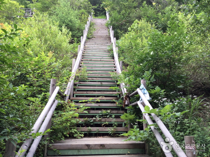
There are two hiking courses: Course 1 and Course 2. Course 1 is 2.0km (1 hour 30 minutes) but requires climbing steep ridges, while Course 2 consists of a valley path of 12.7km (1 hour 10 minutes) and the remaining 1.6km (50 minutes), allowing you to hike along the valley and enjoy forest bathing. Yumyeongsan is also known as a scenic drive course, frequently visited by car and motorcycle enthusiasts. However, due to many steep sections and sharp curves, it is a mountain road known for many traffic accidents, so caution is needed.
OTA-ready stop
Built into inbound routes and day-tour planning.
Local context
경기도 가평군 설악면 유명산길 79-53
Travel fit
Attraction · Gyeonggi-do

![[Early bird] Elysian Gangchon Ski Tour from Seoul (5 pick-up points)](/_next/image?url=https%3A%2F%2Fadmin.holidaykr.com%2Fapi%2Fadmin%2Fsystem%2Fbasic-settings%2Ffavicon%3Fpath%3D%252Fuploads%252Fproducts%252Fthumbs%252F750_1785201339504_file1.jpg&w=3840&q=75)