Destination briefing
Why travelers stop here
Located in the central part of the Baekdudaegan mountain range, Deogyusan was designated as the 10th national park in 1975. Administratively, it spans four counties encompassing Yeongnam and Honam regions: Muju-gun and Jangsu-gun in North Jeolla Province, and Geochang-gun and Hamyang-gun in South Gyeongsang Province. A total area of 229.43㎢ has been designated as park zone.
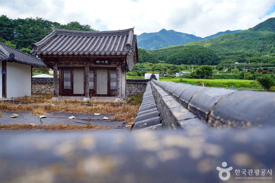
Deogyusan National Park is surrounded by Gayasan to the east, Naejangsan to the west, Jirisan to the south, and Gyeryongsan and Songnisan to the north. Deogyusan is the fourth highest mountain in South Korea (Hyangjeokbong Peak, 1,614m), with high ecological conservation value. It is also the source of the Geumgang River flowing north and the Nakdonggang River flowing east. The Guchyeondong Valley of Deogyusan features 13 terraces, about 10 ponds, and 20 waterfalls, with奇特 cliffs and rapids winding along, a beautiful valley that ancients named the 33 Scenic Spots. In the Geochang area, Wolsung Valley is located, known for its beauty, depth, and clear waters, making it a popular destination for many tourists.
OTA-ready stop
Built into inbound routes and day-tour planning.
Local context
경상남도 거창군 북상면 덕유월성로 1144
Travel fit
Attraction · Gyeongsangnam-do

![[Early bird] Elysian Gangchon Ski Tour from Seoul (5 pick-up points)](/_next/image?url=https%3A%2F%2Fadmin.holidaykr.com%2Fapi%2Fadmin%2Fsystem%2Fbasic-settings%2Ffavicon%3Fpath%3D%252Fuploads%252Fproducts%252Fthumbs%252F750_1785201339504_file1.jpg&w=3840&q=75)