Destination briefing
Why travelers stop here
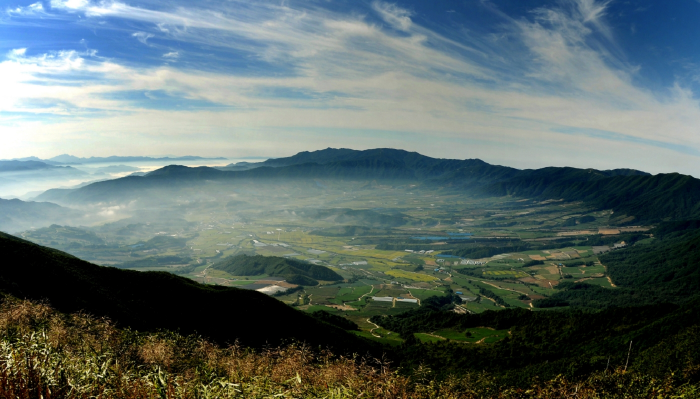
DMZ Punchbowl Trail is a basin developed at an altitude of 400-500m located in Haean-myeon, Yanggu-gun, stretching about 22km northeast of Yanggu-gun. It is also called Yanggu Punchbowl Trail, and the name originated from a war correspondent who, during the Korean War, looked at Haean and called it a punchbowl due to its shape. In addition, it is a 73.2km forest trail created to experience forest culture and history with themes related to war and peace, consisting of 4 courses: Peace Road, OYubat Road, Mandae Field Road, and Meonmetjae Road. As it is a civilian control zone near the armistice line, you can enjoy security tourism such as the 4th Infiltration Tunnel, Eulji Observatory, Yanggu Unification Hall, War Memorial, and Marine Corps Battlefield. Self-guided exploration is prohibited, and you must be guided by a forest trail hiking guide. For every 20 people, an additional guide is assigned and first aid supplies are carried. Visitor safety insurance is provided, and 19 national designated numbers are located within the trail.
OTA-ready stop
Built into inbound routes and day-tour planning.
Local context
강원특별자치도 양구군 해안면 해안서화로 23
Travel fit
Attraction · Gangwon-do


![[Early bird] Elysian Gangchon Ski Tour from Seoul (5 pick-up points)](/_next/image?url=https%3A%2F%2Fadmin.holidaykr.com%2Fapi%2Fadmin%2Fsystem%2Fbasic-settings%2Ffavicon%3Fpath%3D%252Fuploads%252Fproducts%252Fthumbs%252F750_1785201339504_file1.jpg&w=3840&q=75)