Destination briefing
Why travelers stop here
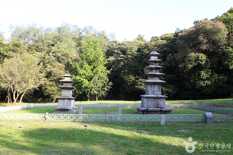
On September 16, 2000, the entire area within the fortress, including the walls, was designated as a Historic Site. Located on Iseongsan Mountain (209.8m) in Hanam-si, this is a granite-built, S-shaped valley-type mountain fortress (pogok-hyeong) with walls 4–5m high, a perimeter of 1,925m, and an internal area of 155,025㎡. The walls, approximately 2km in circumference, are uniquely constructed with stones shaped like corn kernels. This fortress is adjacent to the Gwangju Pungnap-dong Earthen Fortress and Mongchon Earthen Fortress, and is situated at the confluence of the Han River main stream, Namhan River, and Bukhan River. To the north, it offers a panoramic view of various fortresses along the Han River, while the south and east are blocked by Namhansan and Geomdansan mountains, and the west by low hills, providing highly advantageous conditions for defending the rear plains and the Han River basin. Since 1986, multiple excavations have uncovered rectangular pavilion-style building sites, as well as octagonal, nonagonal, and dodecagonal building sites from the Three Kingdoms period, along with four religious sites. Near the fortress summit, octagonal and nonagonal buildings are arranged east and west with a rectangular building between them. The rectangular building is believed to have been a major facility such as a barracks or warehouse, while the eastern nonagonal building is presumed to be a celestial altar (cheondan) for performing rituals to heaven, and the western octagonal building is thought to be a shrine for the gods of land and grain (sajikdan).
OTA-ready stop
Built into inbound routes and day-tour planning.
Local context
경기도 하남시 춘궁동 산 36
Travel fit
Attraction · Gyeonggi-do



![[Early bird] Elysian Gangchon Ski Tour from Seoul (5 pick-up points)](/_next/image?url=https%3A%2F%2Fadmin.holidaykr.com%2Fapi%2Fadmin%2Fsystem%2Fbasic-settings%2Ffavicon%3Fpath%3D%252Fuploads%252Fproducts%252Fthumbs%252F750_1785201339504_file1.jpg&w=3840&q=75)