Destination briefing
Why travelers stop here
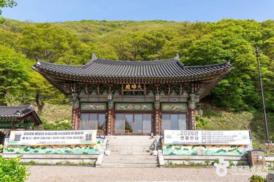
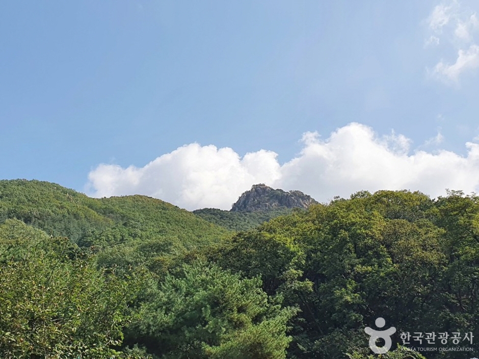
Surisan is the guardian mountain of Gunpo City, surrounding it like a folding screen. It was designated as Gyeonggi Province's third provincial park in 2009. There are several theories about the origin of the name 'Surisan'. One theory suggests that the mountain's outstanding peak orientation resembles an eagle ('suri' in Korean), hence the name. Another theory states that a temple built during the reign of King Jinheung of Silla, located in Sokdal-dong, was called 'Surisa' as a sacred place for cultivating faith, and later the mountain was named 'Surisan'. During the Joseon Dynasty, it was also called 'Surisan' (using the Chinese character for 'water') because a royal prince performed ascetic practices there.
The topography of Surisan is one of the important mountains forming the Gwangju Mountain Range, along with Cheonggyesan (618m), Gwanggyosan (582m), Gwanaksan (629m), and Baegunsan (564m). It is the largest mountain located in the northwestern part of Gunpo City, centered around Taeulbong (489.2m above sea level), with Seulgibong (469.3m) to the southwest, Gwanmobong (426.2m) to the north, and Suambong (395m) to the northwest. The mountain range, with Surisan (Taeulbong 489.2m, Seulgibong 469.3m) running north-south on the western side of Gunpo City, forms the border with Ansan City and Anyang City. The ridge of Surisan extends east-west, dividing Gunpo City. Surisan appears to rise abruptly from the plains, with peaks and cliffs generally composed of quartzite. In the valley areas, biotite banded gneiss or augen gneiss, which are weak against weathering, are abundant, and partially interlayered with muscovite and biotite schist.
OTA-ready stop
Built into inbound routes and day-tour planning.
Local context
경기도 군포시 속달로 347-4 (속달동)
Travel fit
Attraction · Gyeonggi-do



![[Early bird] Elysian Gangchon Ski Tour from Seoul (5 pick-up points)](/_next/image?url=https%3A%2F%2Fadmin.holidaykr.com%2Fapi%2Fadmin%2Fsystem%2Fbasic-settings%2Ffavicon%3Fpath%3D%252Fuploads%252Fproducts%252Fthumbs%252F750_1785201339504_file1.jpg&w=3840&q=75)